Views sought on future plans for Alderney's waters

 States of Alderney
People are being asked to help shape the future of Alderney's territorial waters.
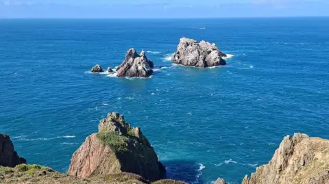
The States of Alderney has set out to draft the island's first Marine Spatial Plan (MSP) to help manage the approximately 570 sq miles (1475 sq km) of marine space.
The hope was to build a clearer understanding of how the waters were currently used, and how those uses may evolve over time by bringing together local knowledge, officials said.
The government's Marine and Energy Working Group said the sea had "always been central to Alderney history, identity and way of life".
"There is increasing interest in how Alderney waters may be used in future, including the opportunities linked to offshore wind and tidal energy," said Bill Abel, chair of the working group.
"The Marine Spatial Plan provides an opportunity for the community to help shape those discussions from an early stage and ensure local knowledge and experience helps inform the way forward."
People who wish to contribute can fill out a questionnaire on the government website, or collect a physical copy from the General Office at the Island Hall.
The deadline to submit views is 10 July.
Follow BBC Guernsey on X and Facebook and Instagram. Send your story ideas to channel.islands@bbc.co.uk.