UK heatwave delivers exceptional sunshine and persistent 30C temperatures

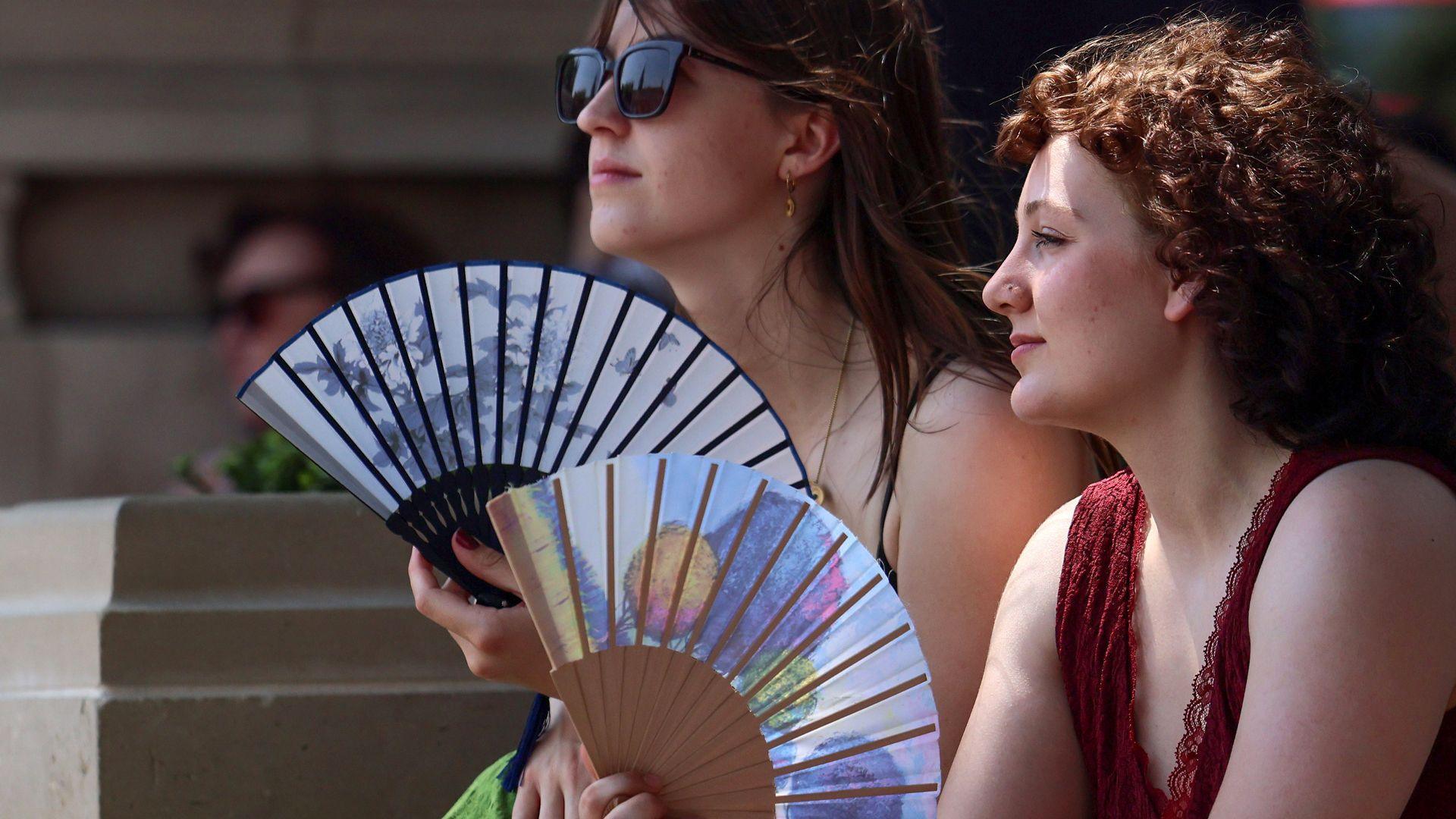
Putting cool water on the skin or clothes can help regulate the body's temperature in the heat
- Published
Some parts of the UK have had nearly double their average sunshine for the first half of July, as the heatwave continues.
The increased sunshine has mainly been seen in parts of southern and south-west England and comes alongside 10 days of temperatures in excess of 30C (86F).
The heat has swept the length and breadth of the UK from the south of England to Scotland, Wales and Northern Ireland.
It is forecast to intensify and develop more widely this week and even though temperatures may fall over the weekend, the sunny skies look set to continue.
How sunny has it been?
It has been a very sunny first half of the month and some parts of the England have had almost twice as much sunshine as normal including Yeovilton in Somerset and Odiham in Hampshire. They have each clocked up about 152 hours of sunshine in the first 13 days of the month.
This is all because of persistent high pressure over the UK where air tends to sink and inhibits cloud formation.
Recent mornings have been cloudy in some areas. The cloud inland gets burned off by the strong sunshine at this time of year but cloud can linger near North Sea coasts.
July has also been very dry. Parts of England have recorded 0% of the rainfall they would normally expect so far in the month.
Wisley in Surrey has gone 27 consecutive days without any at all. Rainfall in Wales and Northern Ireland is also far below average.
More than eight million households in England are now living under hosepipe bans while the ongoing dry weather means a continued risk of wildfires.
Heatwave intensifies

Hotter weather is more likely away from North Sea coasts
The peak of the third heatwave this year was on Thursday 9 July and Friday 10 July when temperatures reached 35C. Even though temperatures have fallen a little since then, some parts of the UK have still persistently reached 30C.
On Tuesday, the UK recorded 10 consecutive days of temperatures hitting 30C or more in some areas. Teddington, Richmond upon Thames, Kew Gardens and Heathrow, in London, are among the areas that exceeded 30C.
The very noticeable east to north-easterly wind has pushed the highest temperatures further west in recent days. But as the wind eases the heat will spread more widely and temperatures are forecast to rise higher this week.
The heatwave threshold is likely to be met in Scotland, Northern Ireland and northern England again.
Briefly cooler weekend

Cooler northerly wind over this weekend
Temperatures are unlikely to reach 30C this weekend with a more general slight fall in the highs across the UK expected. Maximum daytime temperatures will range from 22C in Scotland and Northern Ireland to 28C in southern England - still warm for the time of year though.
A change is due to a northerly wind as the area of high pressure shifts position.
But it could only be a brief cool down because high pressure is currently forecast to build back over the UK again next week. This should see temperatures rising again in most places, with no rain and more strong sunshine.
Check the latest forecast where you are on the BBC Weather app.
Extreme weather more likely
The UK has recorded a temperature above 35C for three consecutive months this year, something that would have been unusual just once a year in the 20th Century, according to the Met Office.
In their latest report summarising the state of the UK's climate in 2025, they say that "climate extremes are becoming the new normal" in the UK.
The climate we had in the 20th Century has "now gone", according to the report's lead author Mike Kendon.
Annual average temperatures in the UK have increased with the latest 10 year period now 1.33C warmer than during 1961-1990 period.
The last four years are in the top five warmest on record for the UK.
But Kendon says what is "particularly concerning" is how this warming has led to more temperature extremes.
The number of days over 30C has quadrupled in areas such as Greater London and the hottest day of the year has warmed by 4.5C.
The UK is now coming to expect temperatures of 35C during hot spells in our summers going forward, he said.
"Every year is adding to the body of evidence showing climate change in the UK," he added.

Get in touch
How are you coping with the heat and what's the weather like where you are? Do you live in a high rise flat, care for the elderly or run a business? Send us your pictures and tips for staying cool.
- Published27 June
- Published4 days ago