What is Iran's 'co-ordinated route' for vessels in the strait?published at 21:34 BST 17 April
By Shayan Sardarizadeh
As we reported earlier, Iran’s Foreign Minister Abbas Araghchi announced in a post on X that the Strait of Hormuz is now “completely open for the remaining period of ceasefire” with the US, which is due to end on 22 April.
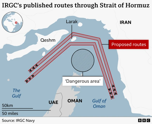
Araghchi also said the passage of commercial vessels is allowed via the "co-ordinated route”, external previously announced by Iran.
He is likely referring to a map and two routes designated by Iran’s Islamic Revolutionary Guard Corps (IRGC) and widely reported by Iranian media last week.
Vessels going towards the Gulf would have to take a route north of Iran’s Larak Island. Those moving towards the Gulf of Oman would go to the south of the island.
The map marked a region in the middle of the channel linking the Gulf and Gulf of Oman as a “dangerous area” to be avoided.
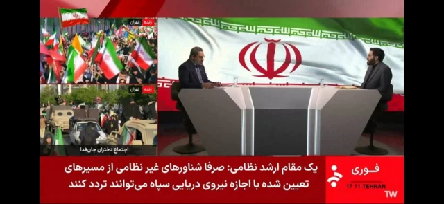
Iran said last week any vessels that did not follow the designated routes risked hitting naval mines or being attacked by the IRGC.
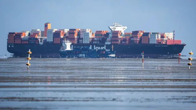
- While there was a flurry of shipping activity in the Gulf throughout Friday, maritime tracking services show very few vessels actually transited through the strait, with some appearing to turn back or stop