Storm Goretti developing rapidly - what is a weather bomb?published at 08:04 GMT 8 January
 Simon King
Presenter and meteorologist, BBC Weather
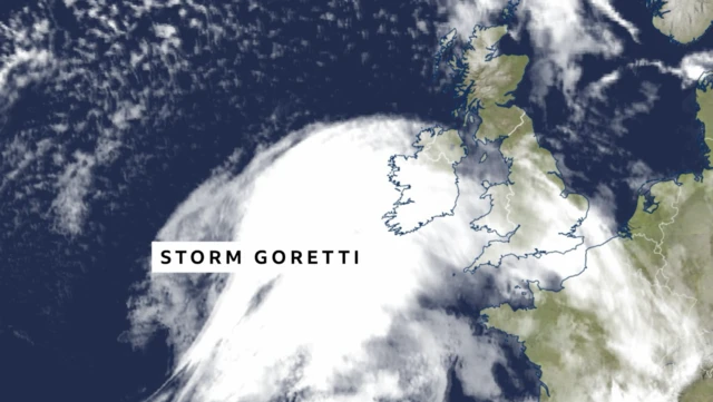
Earlier I mentioned that Storm Goretti is developing rapidly in the Atlantic. In meteorology we have terms for this - explosive cyclogenesis and "weather bomb".
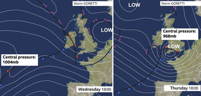
The criteria to use these terms is for the central pressure of a storm to drop by more than 24 millibars in 24 hours.
For Goretti, we’ll see a pressure drop of 36 millibars in the 24 hours from 18:00 Wednesday to 18:00 Thursday. Therefore, meeting the "weather bomb" definition.
But, what does this actually mean?
"Weather bombs" can be a little more unpredictable in the detail of a weather forecast as they develop so fast.
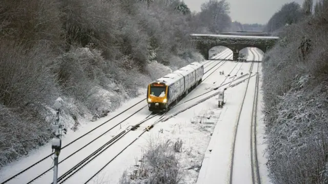
The fact that we’ve had cold Arctic air in place across the UK also adds another layer of complexity to the forecast because we get a battle where mild air - and rain - hits the cold air turning the rain to snow for some.
While mid and east Wales, the Midlands and parts of northern England are most at risk of significant snow, local details can be tricky to determine if the cold air and snow wins out over the less cold, wet snow, sleet or rain.